Archive for April, 2018

What happened to Sydney’s Bus Future?

Posted: April 26, 2018 in Transport
Tags:

VIDEO: Northern Beaches B-Line Bus Service, Transport for NSW (25 November 2017)

In December 2013, Transport for NSW released Sydney’s Bus Future. It outlined plans to restructure bus services in Sydney, developed as a legacy system of public and private operators, into a clearly branded and structured service hierarchy.

Three service levels would be provided: rapid, suburban, and local. 13 rapid routes, with long stop spacing of 800m to 1km and high all-day frequency of 10 minutes or less, together with 20 suburban routes, with shorter stop spacing of 400m and all-day frequency of 15 minutes of less, formed the core of the new services that would be provided by high capacity articulated or double decker buses capable of carrying over 100 passengers each. Some of these would involve converting existing routes, mainly Metrobus routes, but some new routes would also be introduced.

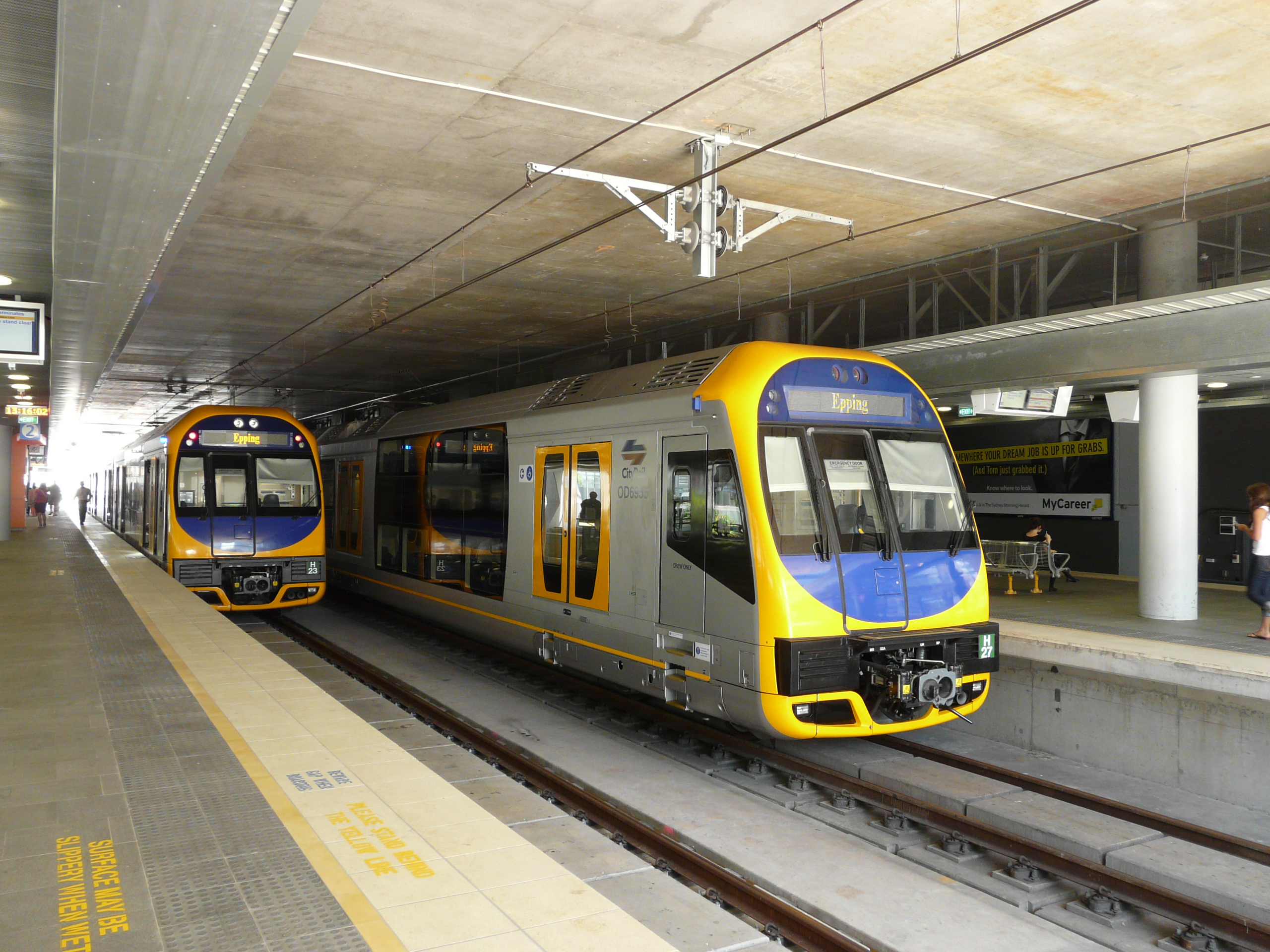
The first set of new services were expected for 2014/15. However, it was not until late 2017 that the first, the now B-Line branded service to the Northern Beaches, began operation as B1. All buses on B1 are yellow double decker buses with clear B-Line branding and offering services like indicator boards, stop announcements, and USB charging ports under the seats.

Were rapid bus services to be expanded then logically their rollout would also coincide with a rebranding and restructure of the entire bus network. Currently there are a wide range of route numbers, with little sense of a unified system. Express services can sometimes be designated with X, either replacing the first digit (such as the X73) or by adding it to the end (such as the 610X), and sometimes with E (such as the E70); limited stops services are sometimes designated with L (such as the L90) or sometimes not at all (such as the 400); Metrobus services are designated with M (such as the M10); T-Way services are designated with T (such as the T80); and B-Line services are designated with B (such as the B1).

Also problematic is that wayfinding in Sydney has designated B for Sydney Buses, F for Sydney Ferries, T for Sydney Trains, L for Sydney Light Rail, and M for the future Sydney Metro. Yet these final 3 (T/L/M) are currently used for various bus routes in Sydney. This reason, together with the recent rollout of a B branded bus route, gives some suggestion of what may come: the removal of non-express branded routes and the introduction of additional B-Line services to the corridors identified for rapid bus services.

Proposed rapid and suburban bus routes for Sydney. Click to enlarge. (Source: Sydney Bus Future, pp. 18-19)

Of the 13 rapid bus routes, 6 pass through the Sydney CBD. Considering the route numbers that run on each of the corridors of these proposed new routes, there is clockwise from the North East:

  • A line to the Northern Beaches via Military Road and Pittwater Road, a corridor containing bus routes numbered 100-199. B-Line route B1 is currently operating here.
  • A line to Kingsford via Anzac Parade, a corridor containing bus routes 300-399. Sydney Light Rail will begin operating on this corridor in 2020.
  • A line to Bondi Beach via Oxford Street and Bondi Road, a corridor containing bus routes 300-399.
  • A line to Burwood via Parramatta Road, a corridor containing bus routes 400-499.
  • A line to Parramatta via Victoria Road, a corridor containing bus routes 500-599
  • A line to Castle Hill via the M2, a corridor containing bus routes 600-699.

It would therefore be possible to bring in new B-Line routes into these final four corridors that follows the route numbering pattern observed by B1. For example B3 could replace the 333 to Bondi Beach, B4 could be a new service to Burwood, B5 could replace the M52 to Parramatta, and B6 could replace the M60 to Castle Hill.

Despite all of this, 2015 came and went with little evidence of Sydneys Bus Future’s signature improvements of rapid and suburban routes being implemented. Although B-Line was introduced late last year, there was no mention of bus improvements in the Future Transport 2056 strategy released around the same time.

Commentary: Why this matters

The new branding, together with additional metro and light rail services coming online in 2019 and 2020, could provide an easy to navigate network for infrequent passenger or tourists. Such a network already exists in the form of rail, ferry, light rail, and B-Line, which has been seen displayed at Circular Quay (see Tweet below). Adding a few additional B-Line routes to such a map would be a simple and easy exercise, especially considering that the 333 could be converted to B-Line with little more than a rebranding exercise.

Sydney University transport academic David Hensher once lamented that public transport improvements tend to focus on new projects and even then on rail based projects, leaving improvements to the bus network ignored. Children play with toy cars and trains but not buses, he would point out. That is not to say that rail improvements aren’t needed – they most definitely are; but with almost half of all trips in Sydney made by bus and many parts of Sydney set to remain out of reach of rail transport even after the rail network is expanded, improvements to the bus network is a cost effective first step in increasing mobility for many in Sydney. With a plan to do so already in place, all that’s needed is for it to be implemented.

The original plan

The 1998 Action For Transport plan proposed 4 new rail lines to be built in Sydney by 2010. These included the already under construction Airport Line (2000), a short extension of the Eastern Suburbs Line to Bondi Beach (2002), a Parramatta to Chatswood Line via Epping (2006), and an Epping to Castle Hill Line (2010).

Proposed rail lines in the 1998 Action for Transport plan. Click to enlarge. (Source:MrHaper, Wikipedia.)

The final two lines to Parramatta and Castle Hill would provide a new path through to the Lower North Shore from the West and North West without having to travel through the CBD. This would take pressure off the congested Strathfield to City corridor, where trains from the Western and Northern Lines merged, and shift it to the less congested North Shore Line.

Parramatta to Chatswood Rail Link

The Parramatta to Chatswood Rail Link was originally to go from Westmead to St Leonards. Only the Eastern portion, between Epping and Chatswood, was actually constructed in 2009, leaving the Western Parramatta to Epping portion unbuilt. (Source: Historical NSW Railway Timetables)

This was not the first time such a line had been put forward, with a similar line proposed all the way back in John Bradfield’s 1920s rail plan linking St Leonards to Eastwood.

What actually happened

The new line was plagued by delays and cost blowouts. In one instance, community backlash over a proposed bridge over the Lane Cove River forced the line to tunnel under the river instead. The deep tunnelling did not merely increase cost and lengthen duration of construction, but resulted in the abandonment of a station at the UTS Kuring-gai campus leading to its closure in 2015. Additionally, the steep gradients on the tunnel meant that Tangara and Millenium trains were initially not used on the line, despite these being the newest suburban trains on the network at the time. Rather the interurban OSCAR trains normally reserved for long distance train journeys would be used instead when the line eventually opened.

Due to steep gradients, some trains were unable to run on the Epping to Chatswood Line when it opened. As a result, OSCARS were used as a shuttle service instead. Click to enlarge. (Source:Wikipedia.)

In 2003, the NSW Government announced that the Parramatta to Epping Rail Link (PERL) portion of the project had been deferred indefinitely. Low levels of projected patronage was given as the reason. This effectively cancelled that half of the project.

The Epping to Chatswood Line eventually opened in 2009 at a cost of $2.3bn. This compared to an initial projected opening date of 2006 and budget of $1.4bn for the entire Parramatta to Chatswood Line.

The next decade would see the PERL reannounced, cancelled, then reannounced again; most recently in 2017s Future Transport Plan 2056, placing the line on the government’s wish list. However, under the current transport strategy it may not open until the second half of the century.

Future Transport Plan 2056. Click to enlarge. (Source: Transport for NSW.)

Meanwhile, urban development of the Upper North Shore and its associated population increase has since led to a rise in demand for rail travel along the North Shore Line, eating up much of the spare capacity that was previously available. So much so that the government is about to begin construction on an extension of the Epping to Chatswood Line (as part of the new Sydney Metro) South through to the CBD in order to add additional capacity.

How it might have happened

The delays and cost blowouts made building the entire line a challenge for the then NSW Government. After all, this was not a time of huge stamp duty revenue streams and zero government debts. In order for the Parramatta to Epping Line to have been built, this was the main obstacle that needed to be overcome.

Perhaps a bit more planning and greater political strength in facing down the community backlash on issues like the Lane Cove River Bridge may have been enough to achieve this. Had this happened then the UTS Kuring-gai campus would almost certainly have survived. Or the Government may have instead chosen to borrow money to complete the project.

Either of these options would have proven politically unpopular, particularly for a government well into a third term. This at least in part explains their decision to abandon the line.

What this would have meant

Had the PERL opened in full last decade it could have significantly changed the direction of passenger flows in Sydney’s rail network. More passengers from the Parramatta area would travel East via Macquarie Park rather than Strathfield, reducing the pressure on the Western Line but increasing the pressure on the North Shore Line. Perhaps the densification of the Upper North Shore may not have happened, with the Parramatta to Epping corridor seeing this densification instead. Either way, the North Shore Line would now be dealing with trains from the Upper Northern Line and Parramatta in addition to those from the Upper North Shore Line.

Unlike the actual present, there would be less talk of the need for a new rail line linking the CBD to Parramatta (in the form of Sydney Metro West) as such a line would have already been built, albeit less directly, via Macquarie Park. However, like the present, there would still be a focus on building additional capacity into the CBD from the North, given the additional pressure on the North Shore Line and its single pair of tracks into the CBD.

So even though the Parramatta to Chatswood Rail Line was designed in part to avoid the need for it, additional rail capacity into the CBD looks to be the one constant that could not be avoided.

Alignment for the 2008 North West Metro. Click to enlarge. (Source: North West Metro Preliminary Environmental Assessment, p. 1.5)

One response would have been to build the 2008 Northwest Metro (see map above) from Castle Hill, but with a Victoria Road approach into the CBD rather than connecting it up to the existing line via Macquarie Park. This would provide additional capacity and act as a relief on the North Shore Line without requiring a deep tunnel under the Harbour, as the line would cross the Parramatta River further West at Hunters Hill.

Alternatively, the Metropolitan Rail Expansion Plan (see map below) would have seen a new line built between Sydenham and Chatswood, connecting the Epping to Chatswood Line in the North through to the East Hills Line in the South. Surface tracks would be built in the existing alignments from Chatswood to St Leonards in the North and Erskineville to Sydenham in the South, with tunnels required between St Leonards and Erskineville. This would create a completely new line from the North West and South West of Sydney through the CBD.

The 2005 Metropolitan Rail Expansion Plan. Click to enlarge. (Source:‘Fixing’ the trains in Sydney: 1855 revisited.)

In the North, UTS would not have closed down its Kuring-gai campus, given that it would now be served by a heavy rail line. However, train frequencies between Macquarie Park and the CBD would be limited without a new harbour rail crossing, leaving Macquarie Park more dependent on road based transport and constraining its potential growth.

Meanwhile, in the West, the Carlingford Line would now be part of the Parramatta to Epping Line. Therefore, the current plans for a light rail network around Parramatta by converting the Carlingford Line to light rail would not be possible. Perhaps Parramatta light rail would still occur, but as a direct line between Parramatta and Sydney Olympic Park to make up for the lack of a West Metro through those location.

Of course, all of this is hypothetical. The Parramatta to Epping Rail Line was never built as originally planned and we will never know what would have happened if it did. If you have your own take on what might have happened, feel free to leave a comment below explaining what you think would have happened or why you think things went the way they did.